Thailand's Andaman Coast · Coastal area
Khao Lak
Khao Lak is a roughly 20 km strip of Andaman Sea beach villages and resorts in Phang Nga Province, southern Thailand, mainly in Takua Pa District with a southern fringe in Thai Mueang. The name refers to Lak Mountain, a landmark peak in Khao Lak–Lam Ru National Park. The area is known for long public beaches, a jungle-backed headland, and as a mainland base for diving and snorkelling trips to the Similan and Surin Islands.
Overview
Overview
Khao Lak is a roughly 20 km strip of Andaman Sea beach villages and resorts in Phang Nga Province, southern Thailand, mainly in Takua Pa District with a southern fringe in Thai Mueang. The name refers to Lak Mountain, a landmark peak in Khao Lak–Lam Ru National Park. The area is known for long public beaches, a jungle-backed headland, and as a mainland base for diving and snorkelling trips to the Similan and Surin Islands.
Khao Lak refers to multiple beach villages spread along Highway 4 rather than a single town centre.
Experience
What it's like
Khao Lak is linear: resorts and services cluster in successive beach villages along a busy national highway, with jungle hills inland and the Andaman Sea to the west. Bang La On concentrates tourist shops and dive offices; Bang Niang and Khuk Khak feel progressively more local in guide descriptions while still hosting beaches and lodging. Offshore islands drive much of the dive tourism; onshore, national-park trails and long beaches define everyday geography.
Areas to know
These are reference descriptions of areas within Khao Lak — not a stay comparison.
- Bang La On / Nang Thong — De facto visitor hub; beach access via Nang Thong Road; many dive shops and restaurants.
- Bang Niang — Beach village north of Bang La On; Police Boat 813 tsunami memorial inland.
- Khuk Khak — Local market and BKS bus terminal; Khuk Khak Beach toward larger northern resorts.
- Khao Lak headland / Lam Ru National Park — Southern mountain-and-coast park entrance and walks.
- Cape Pakarang & Bang Sak — Northern beach stretches; seasonal surfing noted at Pakarang in source material.
- Nam Khem — Fishing village with Ban Nam Khem Tsunami Memorial Park; boat access toward Ko Kho Khao.
- Takua Pa Old Town — Historic streets north of the resort strip.
Nature, beaches and islands
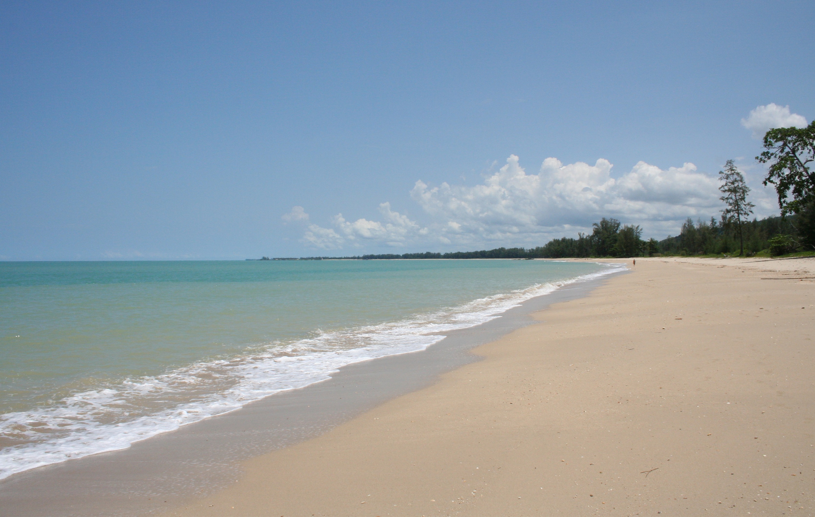
Public sandy beaches line the coast from south of the headland through Nang Thong, Bang Niang, Khuk Khak, Pakarang, and Bang Sak. Khao Lak–Lam Ru National Park protects the mountain–forest backdrop and headland. Day boats and liveaboards from Khao Lak serve the Similan and Surin island groups, widely cited for coral and fish diversity. Inland day outings include waterfalls near Bang Niang and, farther, Khao Sok’s forest and lake landscapes.
2004 tsunami — historical context
On 26 December 2004, the Indian Ocean tsunami struck Thailand’s Andaman coast; Khao Lak was the country’s hardest-hit coastal area, with a death toll reported above 4,000, while higher unofficial estimates include undocumented migrant workers. Patrol Boat 813 was carried about 1–2 km inland at Bang Niang and remains as a memorial; Ban Nam Khem hosts another memorial park. Coastal reconstruction and vegetation replanting followed. An early-warning siren system was later installed.
Things to do
- Beach and coastal time — Long public beaches spanning the resort strip
- National park walks — Khao Lak–Lam Ru National Park headland trails and viewpoints
- Diving and snorkelling — Day trips and liveaboards to the Similan and Surin Islands
- Tsunami memorial sites — Police Boat 813 and Ban Nam Khem memorial park
- Regional outings — Takua Pa Old Town, Phang Nga Bay, or Khao Sok
- Seasonal surfing — Board sports around Pakarang where source-supported
Plan your visit
Plan your visit
When to go
Andaman seasons are commonly framed as a drier period roughly November–March/April and a wetter southwest-monsoon period roughly May–October. Rainfall varies locally.
Getting there & around
Getting there
Most international visitors fly into Phuket International Airport (or Krabi) and continue by road north on Highway 4. Intercity buses and minibuses along Route 4 stop through Bang La On and at Khuk Khak’s small BKS terminal — travelers should use the specific village name rather than assuming “Khao Lak” is one terminal. Surat Thani rail plus bus is a longer structural alternative from Bangkok.
Getting around
The region is elongated along Highway 4. Common transport types described by reference sources include songthaews, motorbike and bicycle rentals, and taxis or chartered songthaews. Sidewalks are limited and the highway carries through-traffic between villages.
Information used
Information used
Reference information — Wikipedia · Wikivoyage · Tourism Authority of Thailand · Wikidata — ordinary geography, place identity, historical context, and broadly established characteristics.
Wherely research — W3-EPIC-012 Decision-Depth Promotion Wave 2 V1 — airport-arrival, beach/base-choice, day-trip, and local-movement decision guidance under Plan's practical-guidance disclosure, sourced from the repaired Place Depth Factory 20x80 R2 run (unit IDs KHL-U1/KHL-U2/KHL-U3/KHL-U4).
Photo credit
Hero photograph: The busy beach at Khao Lak by Allen, licensed under CC BY 2.0.
What to do next
What to do next
Return to Thailand's Andaman Coast when you want the wider geography, or save this Place when it still fits.