Northeast Thailand (Isaan) · National park stay

Phu Kradueng

Phu Kradueng is a tabletop-mountain national park in Loei province reached by an all-day hiking climb to a plateau with camping or bungalow stays, sunrise and sunset cliffs, and waterfalls.

Overview

Phu Kradueng is a tabletop-mountain national park in Loei province reached by an all-day hiking climb to a plateau with camping or bungalow stays, sunrise and sunset cliffs, and waterfalls.

Good to know

The main ascent trail takes under five hours for an averagely fit person; the sunrise viewpoint at Pha Nok Aen normally requires a mandatory ranger-led group due to wild elephants — confirm current park access rules before the trip.

Where to stay

Plateau camping (own or rented tent)

Camping at the upper campsite, bringing a tent or renting one on the spot, is the budget option and the classic way to experience an overnight on the plateau.

Suits travelers on a tighter budget or wanting the classic overnight-camping experience.

Park bungalow

A roofed room booked through the park, at a considerably higher nightly rate than camping, with shared or private facilities depending on configuration.

Suits travelers wanting a roofed room and willing to pay considerably more per night.

What it's like

Things to do

  • Ascent route — The main, historic trail from the park office climbs about 8.7km with staffed rest stops selling food and drink along the way, taking under five hours for an averagely fit person. The Amphoe Nam Nao trail, opened in 2005, is an alternative route with no places to buy food or drink en route.
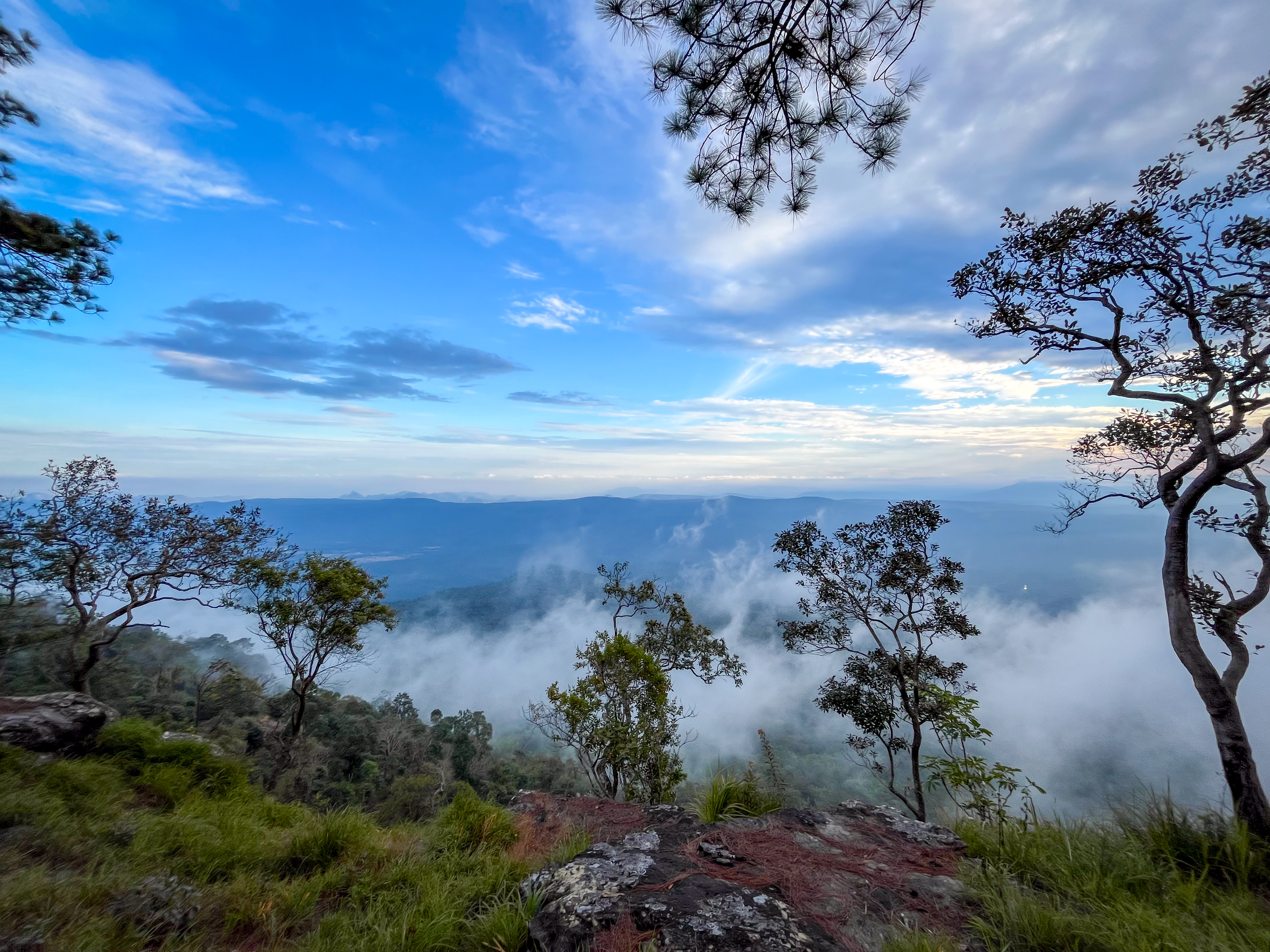
  • Sunrise and sunset viewpoints — Pha Nok Aen (Nok Aan) Cliff on the east rim is the classic sunrise viewpoint, though sources disagree on its exact distance from camp (reported as roughly 1.1km to 2.5km) and it normally requires a mandatory ranger-led group due to wild elephants. Pha Lom Sak Cliff on the west/southwest rim, about 9km from the visitor center, is where most climbers go for sunset instead.
  • Plateau waterfalls — Wang Kwang Waterfall, about 1km from the campsite, is a small 7-metre fall reachable on a short walk. Tat Hong Waterfall is a larger, further waterfall set among denser forest.

Plan your visit

Getting there & around

Getting there

Self-driving from Bangkok follows Route 1, then Route 2, then Route 201 via Saraburi and Chaiyaphum, roughly 495-500km. Travelers without a car can take a Bangkok-Loei bus from the Mo Chit 2 terminal, getting off at Pha Nok Khao and taking a songthaew onward to the park entrance.

How Phu Kradueng fits your trip

May suit travelers willing to hike up to a plateau for an overnight stay, choosing between budget plateau camping and a pricier park bungalow, and between the historic main trail or the food-free Nam Nao alternative route.

Dates, other stops, and what matters on this trip can make this fit clearer.

Add dates and other stops

Information used

Wherely research — Wherely's own governed depth-production research for Phu Kradueng — drawn from independently-owned travel sources — covering gateway, access, and local-mobility choices, where-to-base choices, and landmark and activity choices. Exact fares, schedules, and prices change too often to publish as fixed facts.

Photo credit

Hero photograph: Phu kradueng hero photograph by Nicetory, licensed under CC BY-SA 4.0.

Last reviewed —

Where we cover

What to do next

Return to Northeast Thailand (Isaan) when you want the wider geography, or save this Place when it still fits.

Phu Kradueng travel guidance | Wherely