Thailand's Deep South · Border town
Betong
Betong is a mountain town at Thailand's southernmost tip in Yala province, near the Malaysian border, reached by a short regional flight via Hat Yai or overland via Highway 410.
Overview
Overview
Betong is a mountain town at Thailand's southernmost tip in Yala province, near the Malaysian border, reached by a short regional flight via Hat Yai or overland via Highway 410.
Durable geography inclusion here is entirely separate from, and does not authorize, any current travel recommendation or safety clearance — Betong's border/security context must be assessed live and separately before any customer-facing recommendation. In-town hotels cluster near the clock tower and market; peripheral scenic sites are excursions, not a second sleep district.
Experience
What it's like
Where to stay
Compact in-town hotels sit near the clock tower, market, and main walking loop — the honest overnight base for Betong. Betong Hot Spring, Piyamit Tunnel, and Aiyoeweng viewpoint are out-of-town excursions, not a second general-traveler lodging geography.
Things to do
- Named tunnels — Piyamit Tunnel, a hand-dug 1970s wartime hideout in Tano Maero on the outskirts, is now a walk-through museum reached by car or motorbike given limited public transport that far out. The Betong Mongkhonrit Tunnel, by contrast, is a modern decorative road tunnel opened in 2001 in the town centre itself.
- Town-centre landmarks — Betong's giant postbox and clock tower, built in 1924 at the corner of Sukyang Road, is a free, easy stop in the middle of town. Wat Phutthathiwat's gold Srivijaya-style chedi sits on terraced hillside grounds with views over Betong.
- In-town vs. out-of-town loop — The postbox, clock tower, street art, and Mongkhonrit Tunnel form a walkable or songthaew-scale loop within town. The Betong Hot Spring, Piyamit Tunnel, and Aiyoeweng viewpoint sit further out and need a car, motorbike, or hired driver for a half-day or more.
Plan your visit
Plan your visit
When to go
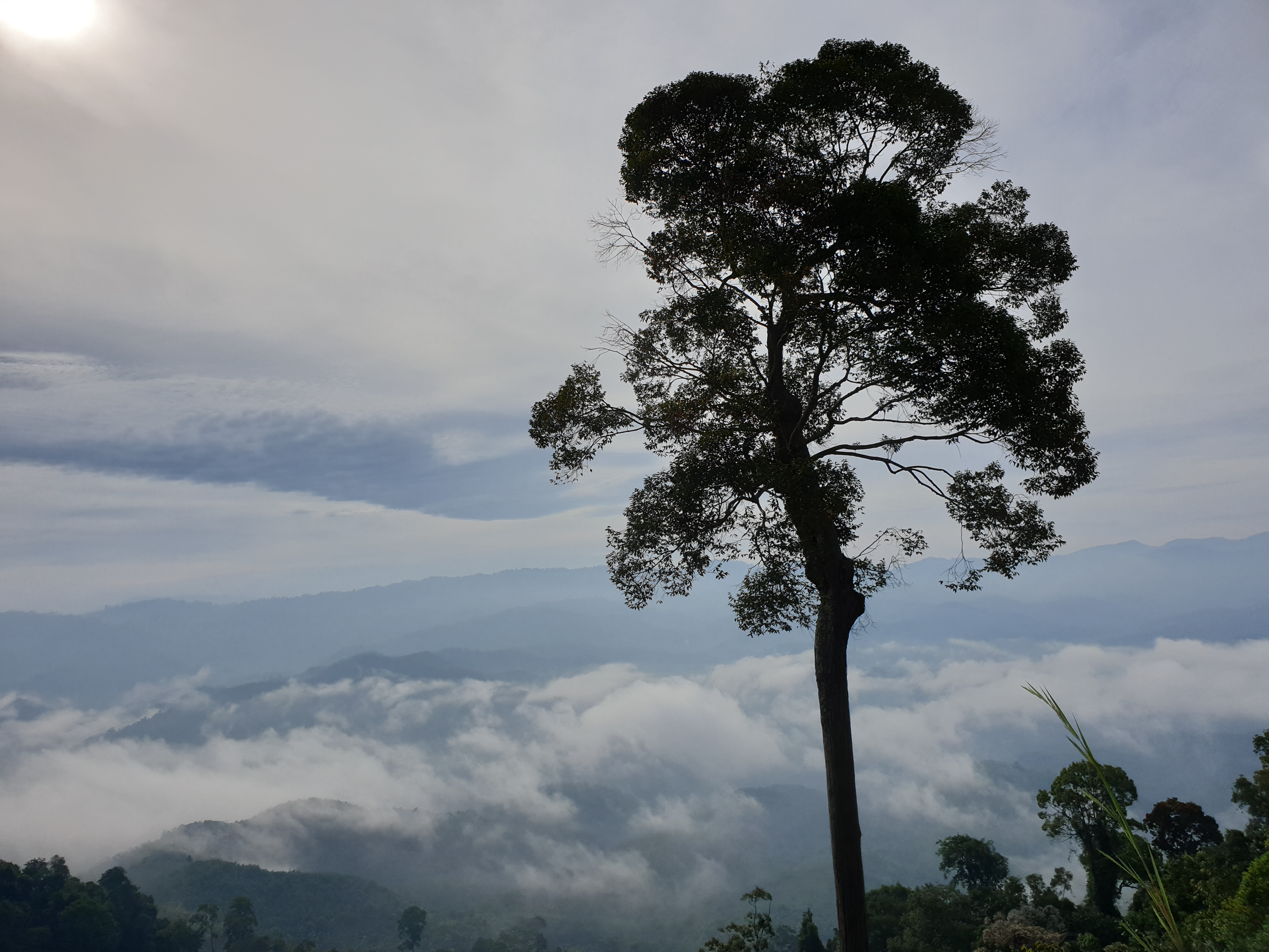
The Aiyoeweng sea-of-mist viewpoint is best visited pre-dawn in the cool season (November-February) for the clearest conditions, though the phenomenon can occur year-round; the wider Betong highlands have a cool climate with frequent morning fog year-round, and the rainy season brings more cloud cover that can obscure sunrise.
Getting there & around
Getting there
A short Ezy Airlines flight via Hat Yai (a 10-seat Cessna, about 60 minutes) began service in mid-2025, but small regional air routes can change; the durable overland alternative is Highway 410 from Hat Yai or Yala by van or taxi, which does not depend on a small airline's current schedule.
Your trip
How Betong fits your trip
May suit travelers exploring Thailand's deep south hill towns, basing in the compact town-centre hotel cluster and treating hot springs, tunnels, and Aiyoeweng viewpoint as out-of-town outings.
Dates, other stops, and what matters on this trip can make this fit clearer.
Add dates and other stopsInformation used
Information used
Wherely research — Wherely's own governed depth-production research for Betong — drawn from independently-owned travel sources — covering gateway, access, and local-mobility choices, landmark and activity choices, practical context, and seasonal timing. Exact fares, schedules, and prices change too often to publish as fixed facts.
Photo credit
Hero photograph: Betong hero photograph by Aoeinista, licensed under CC BY-SA 4.0.
What to do next
What to do next
Save this Place when it still fits, or compare the other places listed above.